
Walk a Pima County Street
A Pima County street directory works best as a chain, not a one-box search. The Assessor identifies the tax parcel and named owner. PimaMaps then puts that parcel among the lots beside it. Recorder placement data connects the land to recorded deeds. The voter system is not an open street browser, so lawful users must respect its credential and purpose limits. For older Tucson occupants, the library's criss-cross books reverse the usual directory order and arrange entries by address.
- Enter the complete address in the Pima County Assessor Parcel Search. Record the parcel number, owner, situs address, mailing address, legal description, and any recorder placement.
- Open PimaMaps, locate the same parcel, and pan along the named street. Click nearby polygons instead of assuming consecutive street numbers mark adjacent land.
- Use a sequence number or docket and page to enter the Recorder search. Read the acquisition deed, then search the seller as an earlier buyer when a past ownership chain matters.
- Check the correct permit keeper. Tucson PRO serves addresses within Tucson, while county Development Services handles unincorporated Pima County and other municipalities keep their own files.
- For a past household, ask the Pima County Public Library for a criss-cross lookup or consult its noncirculating volumes. Treat each name as evidence for that year, not proof of present residence.
The chain guards against a common error. A person who receives the tax bill may live elsewhere. The street directory must keep ownership, correspondence, and occupancy separate until two or more records support the same conclusion.
Pima County Address Search Fields
The Assessor's free universal search accepts a parcel, address, or owner name. County GIS instructions also document map or plat, recorded document, Public Land Survey System, and subdivision routes. These options matter when an address was entered in an old form or when the street number is not known. The property record can expose an owner, separate mailing and site addresses, ZIP and ZIP+4, tax area, land use, legal description, and recorder references.
| Search route | Input | Best street-directory use |
|---|---|---|
| Universal search | Parcel, address, or name | Start from a known number or owner |
| Property address | Street address | Connect a site to one tax parcel |
| Map or plat | Recorded map reference | Bridge renamed streets and subdivisions |
| Recorded document | Docket, page, or sequence | Move between parcel and deed |
| Subdivision or PLSS | Land description | Find land without a stable street label |
The official parcel and map search instructions show how the county joins these paths. The screen below preserves that official workflow for a Pima County street directory search.
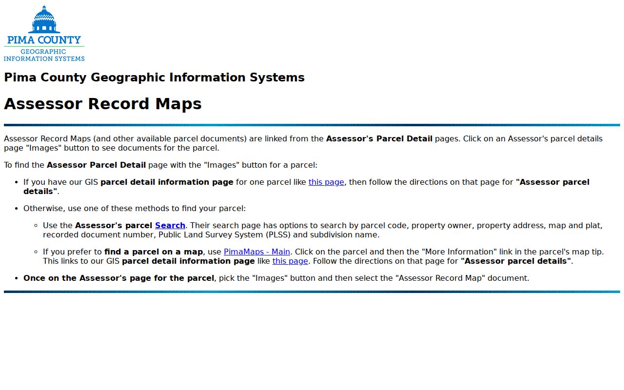
That bridge is more dependable than matching a person solely by surname. It keeps each address search tied to land identifiers that survive changes in mail labels.
Browse Pima County Streets by Parcel
PimaMaps accepts an owner, address, intersection, or parcel. Punctuation should be left out. Pick a result to zoom and drop a pin, then click the parcel and choose More Information. That link can lead to the Assessor, a subdivision plat, permits, imagery, and zoning. Pan and zoom reveal the adjoining parcel shapes. Some legend layers appear only at close scale, and their drawing order can hide other details.
- Parcel
- A tax and mapping unit identified by a county number. A parcel may hold more than one structure or no occupied home.
- Situs address
- The physical or administrative address assigned to the parcel, distinct from the owner's correspondence address.
- Plat
- A recorded map that lays out lots, blocks, streets, and easements within a subdivision.
- Criss-cross directory
- A reverse directory arranged by street and house number instead of by a resident's surname.
PimaMaps is approximate and is not a survey. Its great value is context. It shows that two close house numbers may sit across a wash, on different plats, or under different jurisdictions. Street-by-street work should retain the parcel number before moving to another system.
Pima County Street Record Layers
No official Pima County roll lists everyone at every house. Instead, several address-keyed sources answer narrower questions. Their keepers and limits shape what can be stated about a street.
| Address-linked source | Official keeper | Evidence returned | Access channel |
|---|---|---|---|
| Parcel roll | Pima County Assessor | Owner, site and mailing addresses, parcel and legal facts | Free web search |
| Parcel map | Pima County GIS | Lot shape, adjacent parcels, plats and mapped layers | Free PimaMaps viewer |
| Recorded instruments | Pima County Recorder | Named deed parties, dates, document type and placement | Web index, office terminals, mail copies |
| Tax account | Pima County Treasurer | Tax payer, parcel and owner mailing trail | Free name or mailing-address search |
| Development files | Tucson or relevant jurisdiction | Permit, inspection, plan and work chronology | Portal and written request |
| Reverse directories | PCPL and archives | Named occupants at a Tucson address for a printed year | Library, phone, selected scans |
The Assessor supplies the most useful join key. Carry its parcel identifier into GIS and recorded-document results. A tax mailing address remains a correspondence destination, not a household roster. This distinction is central to the Pima County street directory.
Note: Voter data is not an open by-street source; Arizona law restricts the file's purposes, users, and redistribution.
Carry Pima County Parcels into Deeds
The Pima County Recorder's current index is complete from June 1982 forward. Images extend toward the county's earliest records, but many older names are not indexed. An Assessor or GIS result may display a recorder sequence or docket and page. Those identifiers bypass a broad name search and point to a specific instrument.
The official parcel-to-recorded-document bridge demonstrates the connection between one parcel and its recorder placement.
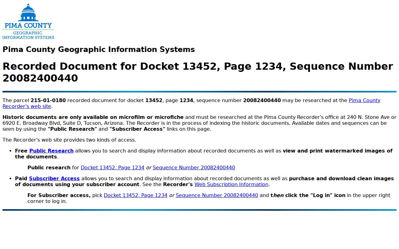
The bridge exposes parcel, docket, page, and sequence values, plus links to public or subscriber research. The linked instrument must still be inspected before inferring parties, terms, or legal description.
Free web images are watermarked and unofficial. Clean or certified copies cost money and may be ordered online, at a kiosk, or by mail. When pre-1982 names fail, researchers can use historic office terminals at 240 N. Stone Avenue or 6920 E. Broadway Boulevard. A mail request works best with the recorder placement, party names, an approximate date, and a phone number.
The office route preserves access when the web index runs out. Pima County's land indexes reach 1858, while deed volumes begin in 1866 or 1867. Historic indexing is still moving backward and should not be treated as a fixed, complete database. The FamilySearch catalog of Pima deeds and indexes also describes grantor, grantee, and deed material from 1858 through 1922 that came from Arizona State Archives originals. It offers a second discovery path, but the Recorder remains the official custodian. For a hard street-directory search, take the legal description and known book or page to the office rather than concluding that a missing name means a missing deed.
Tucson Street Permit History
Within Tucson, Property Research Online, or PRO, retrieves development activity by exact address. The coverage is selective back to the mid-1950s and nearly comprehensive from 2006. A result can show an activity identifier, status, application and expiration dates, unit, type, and description. Work types may include building, utility, development-package, and right-of-way activity.
The Tucson PRO search is the starting screen for city addresses.
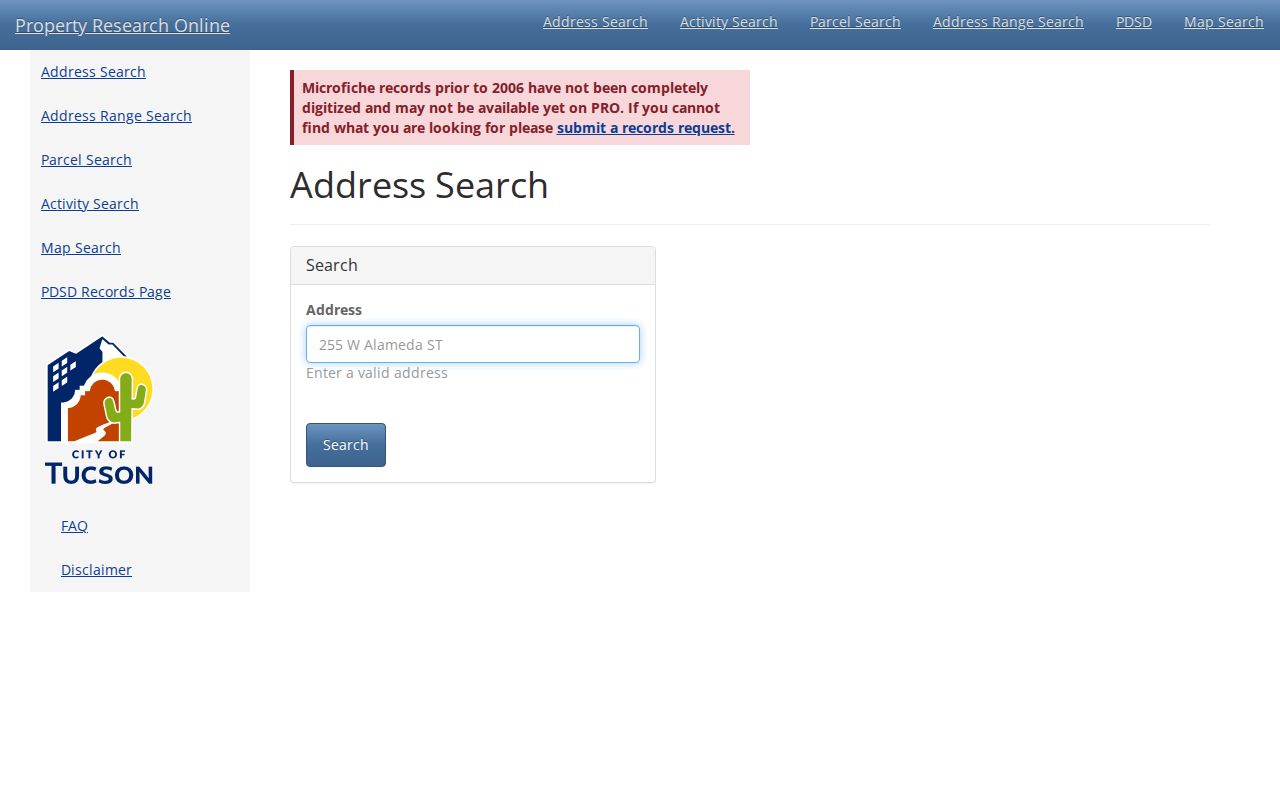
Its citywide search should be used only after jurisdiction is checked. A Tucson postal label can fall outside Tucson government boundaries.
An official PRO sample address history shows how activity rows create a chronology.
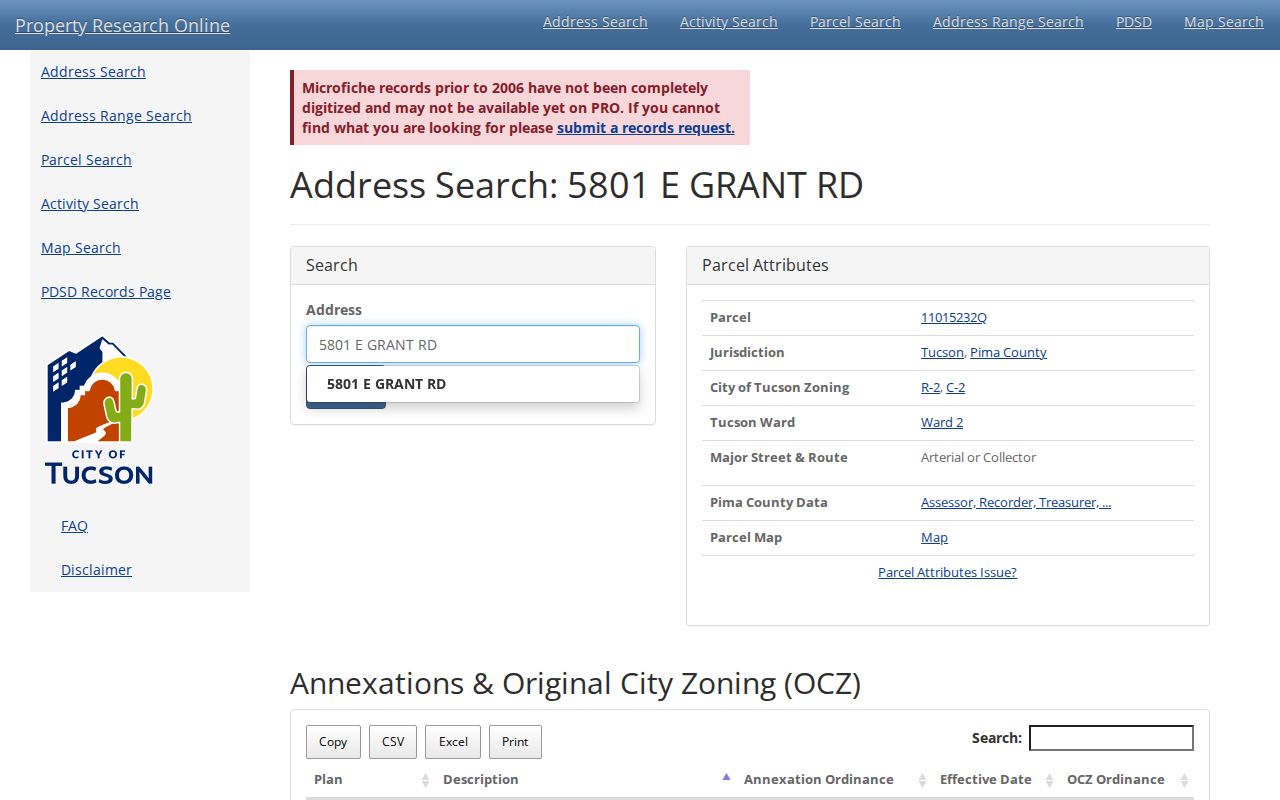
Permit records date work and agency contact. They do not prove who owned or occupied the premises. Older plans may require a request for documents, plans, or both, and some material can be withheld for safety.
Unincorporated Pima County Address Records
County Development Services handles permit and development records in unincorporated Pima County. Marana, Oro Valley, Sahuarita, and South Tucson route their files through the relevant municipality. Choosing the keeper by postal city alone can send a request to the wrong desk.
The Pima County development records search documents the online and written-request path.
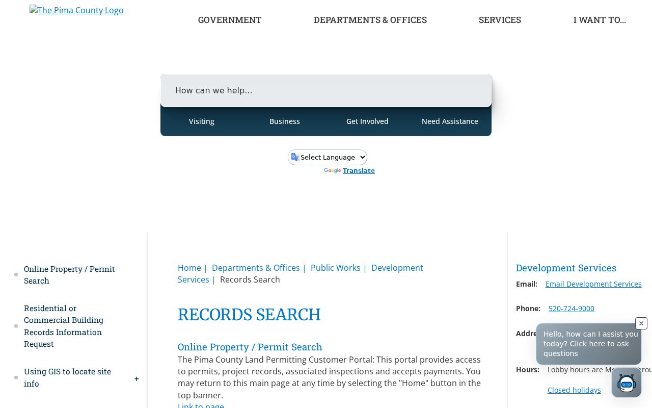
This fallback is important when a parcel has no Tucson PRO result. First confirm the jurisdiction in PimaMaps, then give the agency the exact site address and parcel identifier.
Decode Pima County Street Names
Pima County's address rules explain many failed searches. A direction such as N, E, S, or W is mandatory where assigned. Numbered streets use ordinals. Spanish terms such as Calle, Camino, and Vista may belong to the name, not the type. Most types use two-character codes. One local quirk is SV, the official code for Stravenue.
The Official Address Guide for Pima County sets out these forms and the local assignment process.
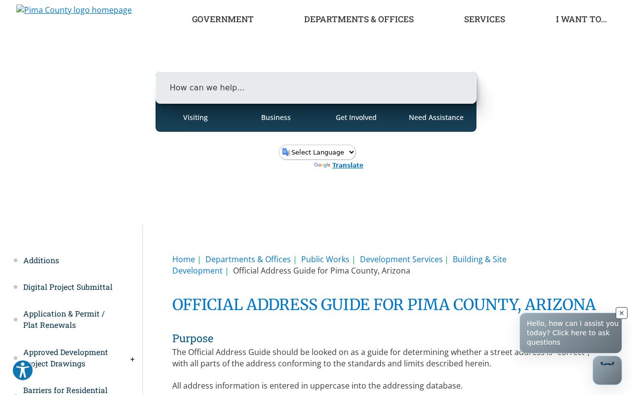
The guide also warns against treating every administrative parcel address as a deliverable home. Such an address can support permits or point to a subdivision entrance before a residence or mail route exists.
Pima Street Geography Crosses Labels
A Tucson postal city does not establish Tucson jurisdiction. ZIPs 85704, 85737, and 85755 include Oro Valley settings, while 85641 uses Vail and Corona de Tucson labels. That geography changes which permit office, court, or local request channel holds an address record. The parcel remains the stable key.
Historic work has another layer. Tucson's grid ordinance dates to 1984, using Broadway and Congress for east-west alignment and the Stone and railroad corridor for north-south division. Older street guides may note former names. Plats, legal descriptions, and directory street guides can carry the search across a renamed road or changed number. For the full historical shelf, use the Pima County city directory collections.
Neighborhood histories add useful context. Pima County addresses range from nineteenth-century adobe areas to postwar ranch tracts. That difference affects which maps, directory years, and permit files are likely to exist.
Pima Street Directory Limits
The Pima County street directory cannot produce a complete current household list. The Assessor and Treasurer identify ownership and tax correspondence. They omit many renters, relatives, guests, and other occupants. Permit applicants and contractors are not proof of residence. Utility customer records and motor-vehicle addresses are not public street rolls.
Arizona's voter dashboard verifies the voter's own record through last name, full birth date, and a credential. Bulk voter data has narrow statutory uses under A.R.S. § 16-168 and cannot serve as a casual neighbor search. The Address Confidentiality Program also substitutes or protects qualifying addresses. These lawful gaps mean absence from a source proves little.
Lawful use. Use Pima County address records only for legitimate personal research. Arizona law does not permit stalking, harassment, threats, or misuse of restricted data.
Record the date of every result. Ownership, permits, and mailing destinations change. If a field is wrong, send the correction to its keeper: Assessor for parcel and mail data, Recorder for index or image issues, and the permit agency for its own file. A street directory result is a lead to verify, not a license to contact or expose anyone.