
Pima County ZIP Areas
Pima County's GIS inventory maps the standard postal areas that touch county parcels. It is not a list of every code USPS may use. The table groups the official polygon entries into useful regional bands. Post-office station names were not published in the county dataset, so the directory points to USPS verification instead of inventing them.
| ZIP | Areas covered | Post office check | Local note |
|---|---|---|---|
| 85321, 85341 | Ajo, Why, Lukeville | Verify with USPS | Western county; 85341 has PO-box context |
| 85601, 85602, 85611, 85633, 85637, 85639, 85645 | Arivaca, Benson fringe, Elgin, Sasabe, Sonoita, Topawa, Amado | Verify with USPS | Rural and fringe coverage; several PO-box contexts |
| 85614, 85622, 85629 | Green Valley, Madera Canyon, Sahuarita | Verify with USPS | South and southeast population centers |
| 85634, 85641 | Sells, Pisinemo, Vail, Corona de Tucson | Verify with USPS | Community names do not define jurisdiction |
| 85619 | Mount Lemmon | Verify with USPS | PO-box context in county GIS |
| 85653, 85658 | Marana and northwest county | Verify with USPS | Check Marana boundaries separately |
| 85701, 85705, 85706, 85710-85716, 85719 | Downtown, north, south, central, east, and university Tucson | Verify with USPS | Core Tucson postal areas |
| 85704, 85718, 85737, 85739, 85755 | North Tucson labels, Catalina Foothills, Oro Valley, Saddlebrooke | Verify with USPS | Strong postal-city and municipal mismatch |
| 85707, 85708, 85723, 85724, 85726 | Military, VA, university, and Tucson mail contexts | Verify with USPS | Institutional context needs address-level confirmation |
| 85730, 85735, 85736, 85741-85750, 85756, 85757 | Southeast, southwest, northwest, west, east, and far south Tucson areas | Verify with USPS | 85742 appears as three polygon parts |
The county layer contains 54 polygon parts. One ZIP can have several separate pieces, so duplicate shapes must be merged when reading it as a directory. The map geometry still matters when an address sits near a boundary.
Countywide coverage also reaches far beyond Tucson. Western, mountain, border, tribal, rural, and fringe areas appear beside dense urban postal zones. The varied landscape is why one ZIP list cannot stand in for local jurisdiction or community identity.
Pima County ZIP Map Evidence
County ZIP shapes come from parcel addresses. Rural gaps are extrapolated, and most unique, military, and PO-box-only codes are not represented as ordinary polygons. USPS ZIP codes organize mail routes; they were not designed as fixed civic boundaries. A map is therefore good for area context, not final delivery proof.
The Pima County ZIP polygon metadata records the dataset's source, limits, and maintenance.
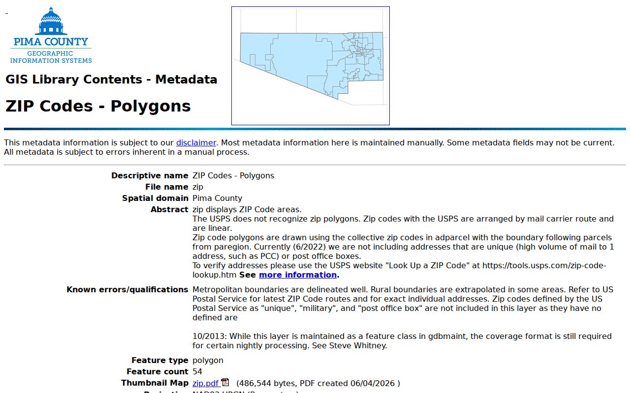
The metadata makes the Pima County ZIP code directory more precise. It tells a reader why a mapped line may differ from mail service and why a missing nongeographic code is not evidence of an invalid address.
Find Pima County Residents by ZIP
A ZIP narrows geography, but the research did not confirm a public Assessor search that returns every parcel in one ZIP. The safe process starts with an address or name and uses the ZIP as a check. Voter data is also not an open resident browser. Arizona allows requested files only for specific lawful purposes and users.
- Check the full street address in the official USPS tool. Save the normalized city, state, ZIP code, and ZIP+4 when returned.
- Locate the address or parcel in PimaMaps. Compare the county ZIP layer with parcel, jurisdiction, and district layers.
- Search the Assessor by the normalized address or owner name. Compare the situs ZIP with the separate owner mailing ZIP.
- Move to the correct custodian only after jurisdiction is known. Tucson, unincorporated county, Marana, Oro Valley, Sahuarita, and South Tucson do not share one permit desk.
Once a ZIP search yields a specific road, the Pima County street directory explains the parcel-by-parcel record chain. This keeps the ZIP page focused on postal geography.
Verify a Pima County ZIP
USPS Address Lookup is the final check for a deliverable address. It answers a different question from the county GIS layer. The county describes where parcel-based ZIP shapes lie. USPS standardizes the mailing address that carriers use.
| USPS input field | Entry type | Why it matters |
|---|---|---|
| Street address | House number and street | Matches the delivery point |
| Apartment, suite, or unit | Secondary address | Separates units at one base address |
| City | Postal city label | Supports mail routing, not municipal proof |
| State | Arizona | Constrains the result |
| ZIP code | Optional known code | Confirms or corrects an entered ZIP |
The USPS ZIP Code Lookup by address shows the official verification surface.
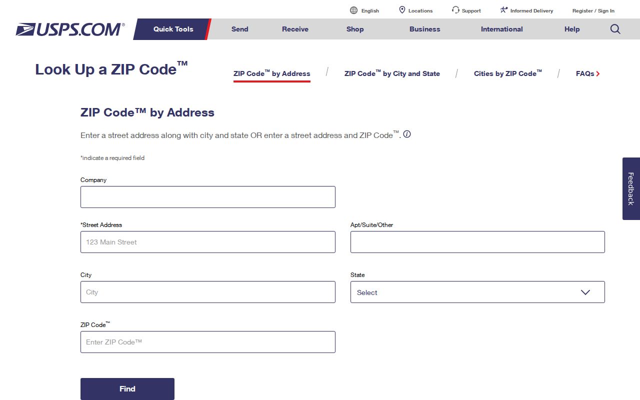
Use the returned postal form before searching another portal. Even a small difference in direction, street type, or unit can change the result.
Pima ZIP Codes and City Limits
Postal labels cross municipal lines throughout Pima County. Addresses in 85704, 85737, and 85755 may carry Tucson as the postal city while lying in Oro Valley. ZIP 85739 can describe Saddlebrooke. The 85641 label spans Vail and Corona de Tucson. Neither the printed city nor the ZIP code decides police service, court venue, permitting, schools, or tax authority.
That mismatch changes a resident search. Tucson PRO is right for parcels inside Tucson, while Pima County Development Services covers unincorporated land. Marana, South Tucson, Sahuarita, and Oro Valley retain their own addressing or permit roles. Check PimaMaps before requesting a file.
- ZIP code
- A USPS routing code associated with delivery operations, not a municipal boundary.
- ZIP+4
- The five-digit ZIP plus four digits that narrow delivery to a smaller segment, building, or group.
- PO-box ZIP
- A code or mapped context used for post-office boxes rather than ordinary street delivery.
- Unique ZIP
- A code assigned to one large organization or institution; many are absent from county polygon maps.
- Carrier route
- A sequence of delivery points served by one postal route, which can cross civic boundaries.
Pima County Assigns Site Addresses
Pima County Development Services assigns situs addresses except in Marana and South Tucson. A situs is the physical or administrative parcel place. It can differ from the owner's mailing address. An administrative parcel address may exist to support a developing tract and may point to an entrance rather than an occupied, mail-ready home.
The Pima County addressing authority explains this jurisdictional role.
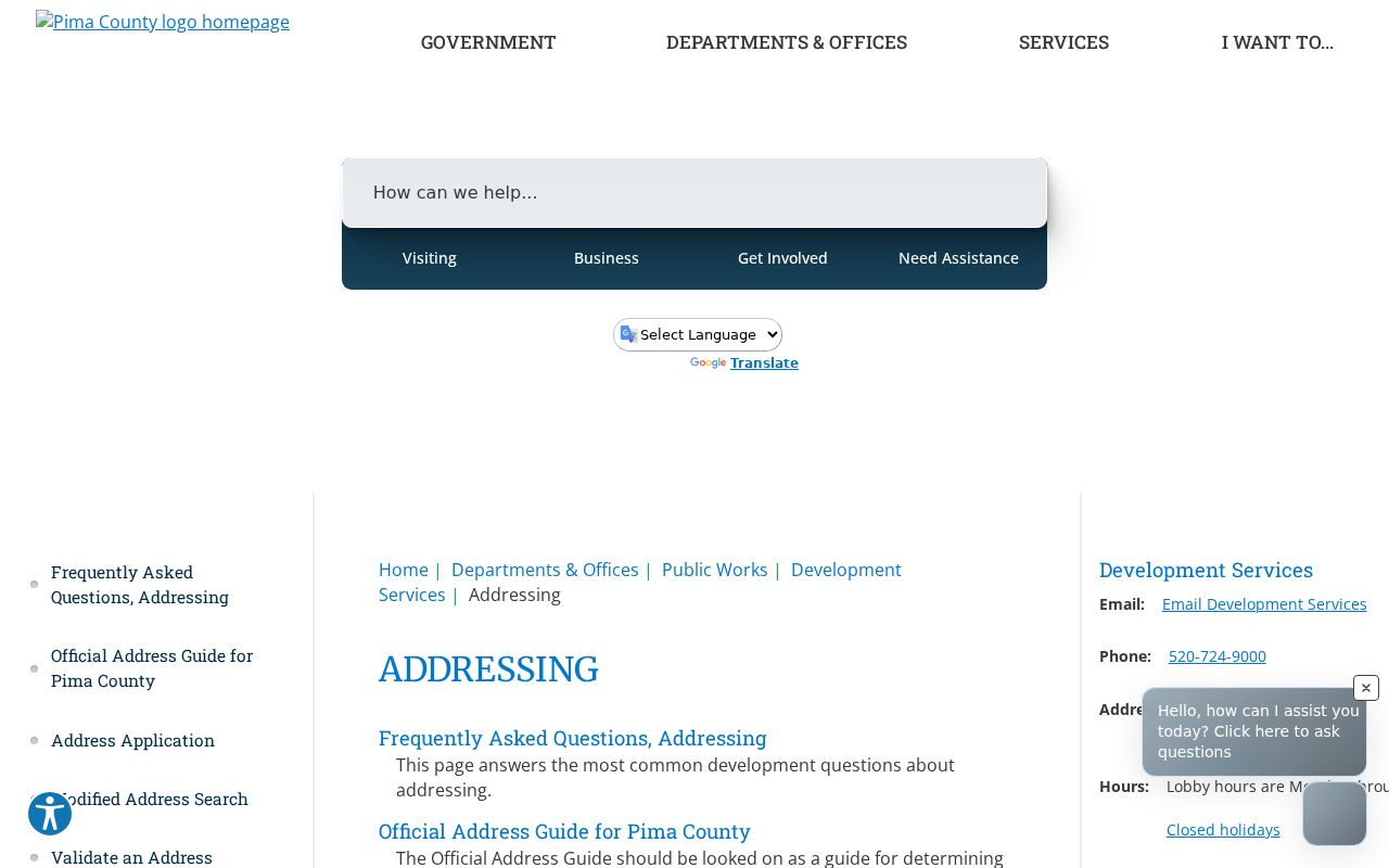
This source prevents a ZIP directory from overstating what an address means. County site records, USPS delivery data, and legal land descriptions serve different functions.
Pima ZIP Lines Changed in 2025
The county refreshed its polygon dataset on June 2, 2026. Its maintenance notes show that 135 S. Wilmot moved from 85710 to 85711 in July 2025, while 85704 and 85718 also received revisions. This timely local example shows why copied ZIP lists age quickly.
A postal change does not alter parcel identity or legal description. For a long address trail, retain the parcel number, subdivision, lot and block, and recorded book or page. Those land keys carry the research across a changed ZIP code.
Note: Date every Pima County ZIP code directory result because both postal assignments and the county's mapped interpretation can change.
Pima ZIP Searches Need Exact Streets
Local address form matters as much as the ZIP. Pima County requires the assigned direction, uses ordinals for numbered streets, and treats Spanish words such as Calle, Camino, or Vista as part of a name where applicable. Most street types use a two-character code. SV means Stravenue, a distinctly local type.
Omit punctuation where a portal instructs it. Keep the full direction. A failed search may reflect spelling, a missing direction, a street-name element mistaken for a type, or an old number. The county address guide and historical directory street guides can normalize the form before a ZIP lookup is repeated.
Compare Pima Situs and Mailing ZIPs
The Assessor can show both a site's ZIP and the owner's mailing ZIP. They answer different questions. The situs connects the tax parcel to a place. The mailing field tells where correspondence goes and may be across town, outside Arizona, or at a post-office box. It cannot prove anyone lives at the parcel.
The Treasurer's name and mailing-address search supplies another owner-correspondence trail. Use it as a cross-check, not as an occupant list. If the parcel record is wrong, the correction belongs with the Assessor. If USPS returns a different delivery form, preserve both results and note their dates.
Key distinction. A Pima County ZIP code can narrow a search area, but only the parcel and legal description keep land identity stable over time.
Responsible Pima County ZIP Lookup
A ZIP code describes mail geography. It does not disclose a complete set of residents. Parcel rolls omit many occupants. The voter dashboard is identity-gated for the voter, and authorized bulk data is restricted by A.R.S. § 16-168. Participants in Arizona's Address Confidentiality Program have substitute or protected addresses in relevant public records.
Use the Pima County ZIP code directory for lawful personal research, genealogy, civic context, or to route a request to the right keeper. Never infer a private household from one mailing field. Verify important facts with the official custodian and do not use public data to harass, threaten, or track a person.