
Pima County Neighbors Block Sources
The immediate block is best read as a set of parcels, not as a list of people. PimaMaps reveals the lots beside, behind, and across from a known address. Assessor and Treasurer records then show the owner or tax-mail relationship for each parcel. Tucson's voluntary association system adds boundaries and officer contacts. Historic criss-cross directories can place past households by address, but the modern voter dashboard cannot be browsed for nearby names.
| Block Source | What It Can Show Nearby | Access Route |
|---|---|---|
| PimaMaps | Adjacent parcel shapes, parcel links, zoning, plats, imagery, and district layers | Free interactive viewer |
| Assessor Parcel Search | Owner, situs address, separate mailing destination, and parcel facts | Free search by parcel, address, or owner |
| Pima County Treasurer | Tax account and owner correspondence trail | Free name or mailing-address search |
| Tucson Neighborhood Resources | Association boundary, charter or bylaws, and officer contacts | Public directory and city staff |
| PCPL reverse directories | Past names arranged by address | Main Library, cardholder database, or limited phone lookup |
These records describe different ties to a place. An owner may receive mail elsewhere. An association officer speaks for an organization, not every household. A directory entry reflects its publication date. Treat the sources as layers and date each one before deciding what it says about Pima County neighbors.
Block research gains strength when map position, owner identity, and civic boundaries agree, yet each fact must retain its own date and source.
Browse Pima County Neighbors by Parcel
The county documents a click-by-click method for walking outward from one lot. Search PimaMaps by owner, address, intersection, or parcel without punctuation. Choose a result to zoom and drop a pin, leave the Parcels layer visible, and click each polygon around the target. “More Information” opens links to assessor facts, subdivision plat, permits, imagery, and zoning. No public buffer or radius control was verified, so a true block search is manual.
The official PimaMaps instructions show the controls used for that adjacent-parcel walk.
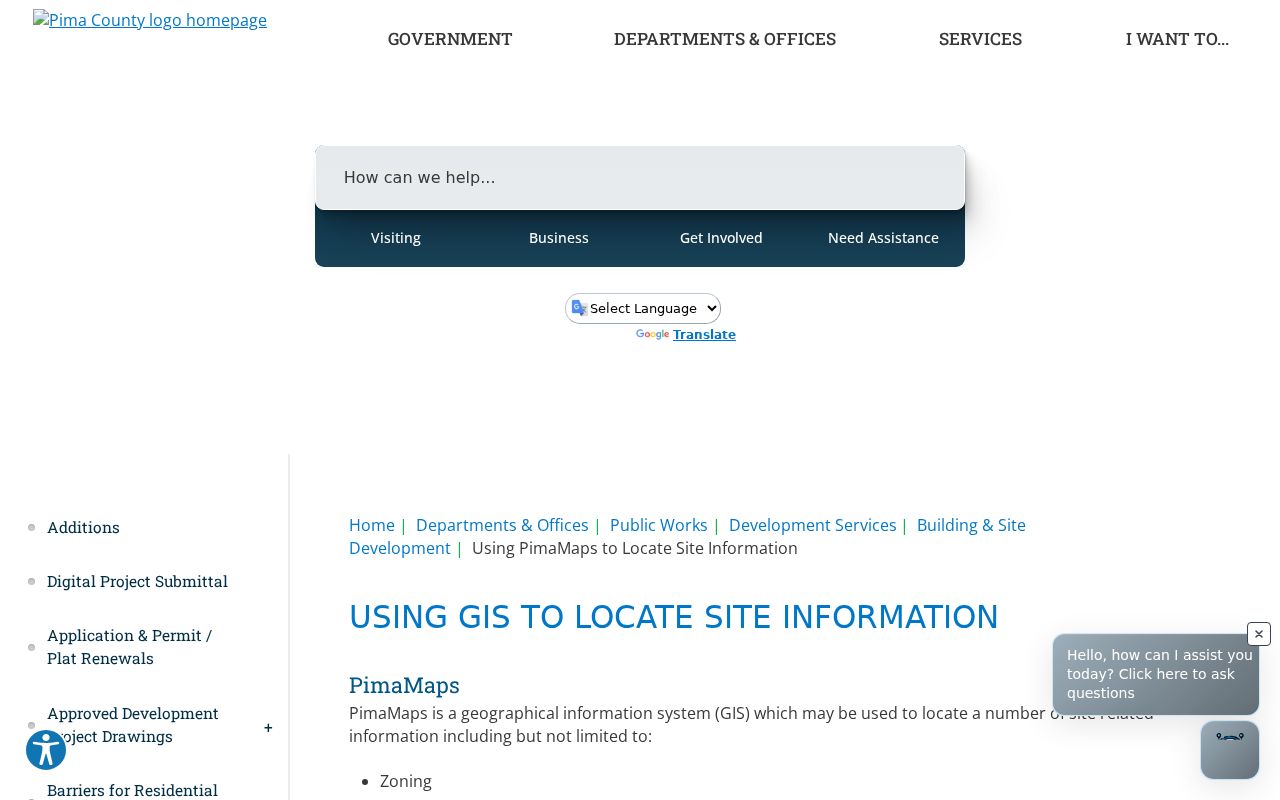
The viewer is a bridge, not the final proof. It places parcels in relation to one another and sends each selected lot to its record. County GIS is approximate and is not a boundary survey.
- Search the target address and zoom until parcel lines are distinct.
- Click the target, both side parcels, parcels across the street, and rear lots that touch it.
- Open More Information and record each parcel number before following the Assessor link.
- Compare situs and mail fields, then use the Treasurer only as a second owner-correspondence check.
- For every parcel along the named road, continue with the Pima County street directory lookup.
Pima Owner Mail Is Not Occupancy
The most common block-search mistake is turning an owner's mailing address into a household claim. The Assessor separates the situs, which is the parcel's assigned place, from the destination used for owner correspondence. Those fields may match, but a match still does not name renters, relatives, or other household members. An administrative parcel address can even point to a tract entrance before there is a deliverable residence.
The Pima County Treasurer search offers a useful second owner and mail trail.
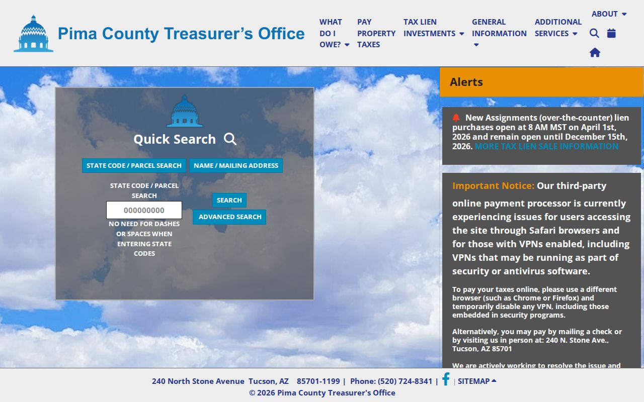
That screen can confirm a tax account and correspondence name. It cannot establish who sleeps at the address. Assessor, not Treasurer, controls changes to the owner mailing field.
- Parcel
- A mapped unit of land with a county identifier.
- Situs address
- The physical or administrative place assigned to the parcel.
- Mailing address
- The destination for owner correspondence, which may be far from the parcel.
- Plat
- A recorded map showing lots, blocks, streets, and other subdivision details.
Pima County Neighborhood Boundaries
PimaMaps includes neighborhood and HOA layers, but those polygons describe organizations and notification areas rather than homes or people. Scale and drawing order affect what appears. If a parcel fill hides another layer, turn Parcels off long enough to inspect the boundary, then restore it before clicking neighboring lots. County metadata can include an HOA name, key, type, notification field, and source. Unregistered groups may be absent.
The Tucson neighborhood-association GIS metadata explains how the mapped layer is maintained.
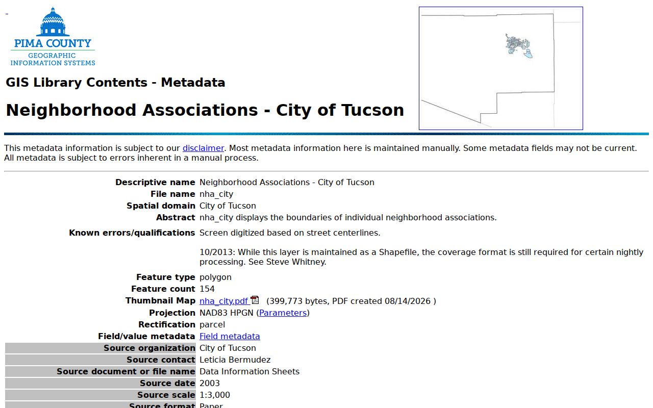
The current layer contains roughly 154 polygons in 2026 and follows city-approved changes. That number signals rich civic geography, not 154 member lists. It is the block's organizational layer, not a resident roll.
Tucson Neighbor Groups and HOAs
Tucson draws a clear line between voluntary neighborhood associations and homeowners associations. The city directory can supply a map, boundaries, charter or bylaws, and officer contacts for registered associations. It does not publish an occupant roster. HOAs arise from deed restrictions and private governance, while voluntary groups organize around shared local concerns. Neither status proves that a named officer lives at every address represented.
The Tucson Neighborhood Resources page is the official starting point for association contacts.
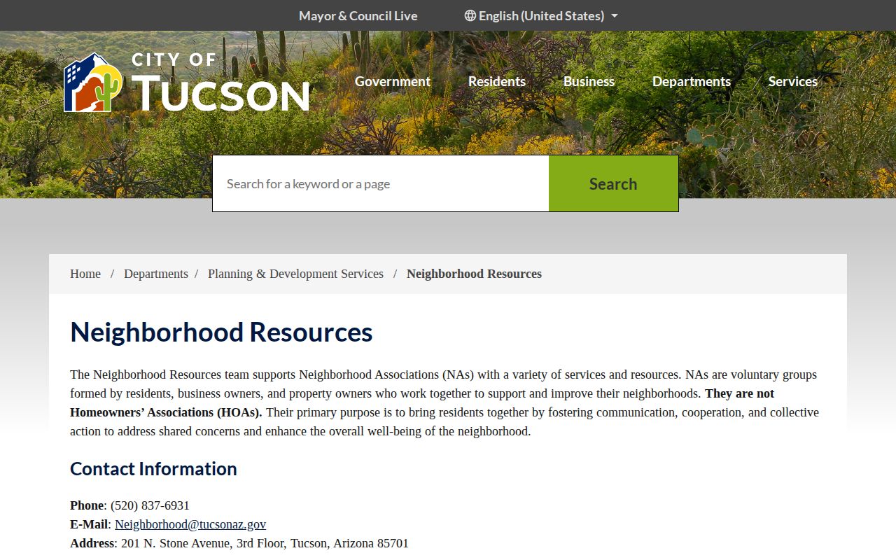
The city team can be reached at 520-837-6931 or Neighborhood@tucsonaz.gov. Its office at 201 N. Stone Avenue serves the civic-directory role. Ward 4 examples in the research include Dietz, Rita Ranch, Stella Mann, Mesquite Ranch, Old Spanish Trail, and several Houghton-area groups, but those names are only samples, not a countywide list.
Tucson Neighborhood Resources
Voluntary association boundaries, governing documents, and officer contacts. Phone: 520-837-6931.
Pima GIS Association Layers
Mapped city and county neighborhood or HOA polygons. The layers show geography, not member households.
Pima County Block Record Layers
Once parcel IDs are saved, PimaMaps can add context that a neighbor-name list lacks. Zoning, plats, permits, floodplains, fire districts, wastewater, and aerial imagery help explain how lots relate. Layers switch on at different zoom levels. A subdivision plat can show why two homes that face different roads share a rear line, while old aerials can reveal when a vacant tract became a built block.
Permit records date work, not occupants. Tucson Property Research Online covers nearly all city development records from 2006 forward and selected files to the mid-1950s. Unincorporated Pima County uses Development Services Records Search. Marana, Oro Valley, Sahuarita, and South Tucson keep their own municipal routes. A Tucson postal label alone does not select the right office.
Note: Confirm jurisdiction from the parcel before choosing a permit office, since postal Tucson extends beyond Tucson city limits.
Pima County Voter Data Cannot List Neighbors
The Pima County Voter Dashboard asks for last name, full date of birth, and either the last four digits of a Social Security number or a driver-license number. Those credentials make it a voter self-service tool. It returns the user's status, districts, notices, ballot status, and participation history. It cannot be used to type an address and browse everyone on the block.
Arizona's requested voter file is also a poor fit for personal neighbor research. A.R.S. § 16-168 restricts purposes, redisclosure, and who may sign the Pima request. The form carries party, status, district, and election-history filters, production may take up to 30 days, and unauthorized use can be a felony. Public precinct or district totals can describe local civic patterns without exposing individual households. Address Confidentiality Program participants use a protected registration path, so even a lawful file cannot be assumed complete.
Compare Pima County Neighbor Sources
Official rolls and commercial neighbor tools solve different problems. The official source has a known custodian, stated fields, and a correction route. A commercial compilation may blend public and private material, merge names, lag changes, and hide where a claim began. It can suggest a lead, but it cannot upgrade owner data into proof of occupancy.
| Question | Official Pima Source | Commercial Compilation |
|---|---|---|
| Where did the fact come from? | Named office and identified record | Source may be unclear |
| How current is it? | Record can be dated and checked | Refresh timing may be unknown |
| Can an error be fixed? | Contact the responsible custodian | Separate opt-out or dispute process |
| Does an owner equal an occupant? | No, the field is labeled by purpose | Relationship may be inferred or merged |
For historical neighbors, Pima County Public Library's directory service offers a better documented path. The Main Library holds print and microfilm city or criss-cross directories, cardholders can use Reference Solutions, and Infoline performs up to three address or phone lookups. Supply a year or narrow range because one result is not a full block history.
Privacy Boundaries for Pima Neighbors
Parcel rolls do not name renters, family members, guests, or visitors. Utility accounts, delivery files, DMV personal data, and private association rosters are not public block directories. Arizona's Address Confidentiality Program provides a substitute address and mail forwarding for qualified survivors and protected people. Public-facing records may also omit sealed court material and protected voter addresses.
Keep the work tied to a narrow, lawful reason. A shared parcel issue may require the owner of record. A neighborhood project may call for the association officer. A history question may call for a dated reverse directory. None requires compiling private lives or publishing a sensitive address. If an official parcel or tax field is wrong, take its identifier to the Assessor or other custodian instead of repeating it.
Lawful use. Pima County neighbor records may support civic contact, property curiosity, local history, reconnection, and personal safety. Never use them to watch, harass, threaten, or intimidate anyone.